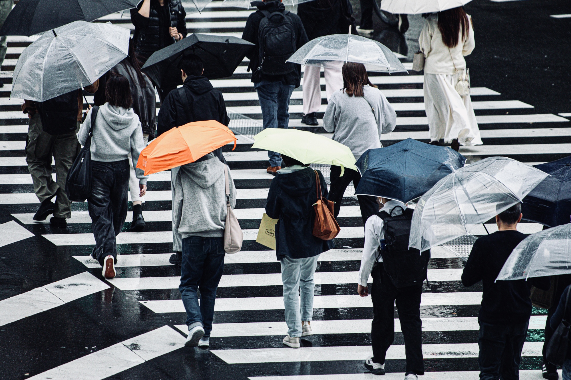
For anyone living in Tokyo, this autumn’s rain has been difficult to ignore. Umbrellas became permanent companions, outdoor plans needed a backup, and the walk to the station felt longer on wet mornings. The Japan Weather Association reported that central Tokyo recorded precipitation on 37 consecutive days from August 27 to October 2, with the streak ending on October 3. This means precipitation was observed each day, rather than rain falling continuously. [1]
The wet spell raises a question we rarely consider when looking at Tokyo’s skyline: where does all that water go? Part of the answer lies beneath our feet. Alongside its underground railways, Tokyo has drainage networks and floodwater storage facilities that help protect homes and businesses. A prolonged wet spell differs from a sudden downpour, but it offers a timely reason to explore this infrastructure and its connection to choosing a property.
Why urban rain needs careful management
Buildings and paved surfaces make it harder for rain to soak into the ground, increasing the volume entering sewer networks. When rainfall exceeds drainage capacity, water can accumulate above ground without a river overflowing. High river levels can also prevent sewers from discharging water into rivers. This is known as naisui hanran, or drainage-related flooding. [2][3]
Managing heavy rain therefore involves both moving water and finding somewhere to hold it. River defenses address one part of the challenge; local drainage and storage address another. For property buyers, this explains why distance from a river cannot tell the whole story. A home sits within a landscape and a drainage network, both of which influence how water reaches and leaves the site.
The reservoir beneath a familiar road
One of Tokyo’s most striking flood-control facilities lies roughly 50 meters beneath Ring Road No. 7. The Kanda River and Ring Road No. 7 Underground Regulating Reservoir can temporarily hold approximately 540,000 cubic meters of floodwater from the Kanda, Zenpukuji, and Myoshoji rivers. [4] Its storage tunnel is approximately 4.5 kilometers long and 12.5 meters in internal diameter. Intake facilities draw river water into the underground system during heavy rainfall, providing additional room when pressure on the rivers is high. [4]
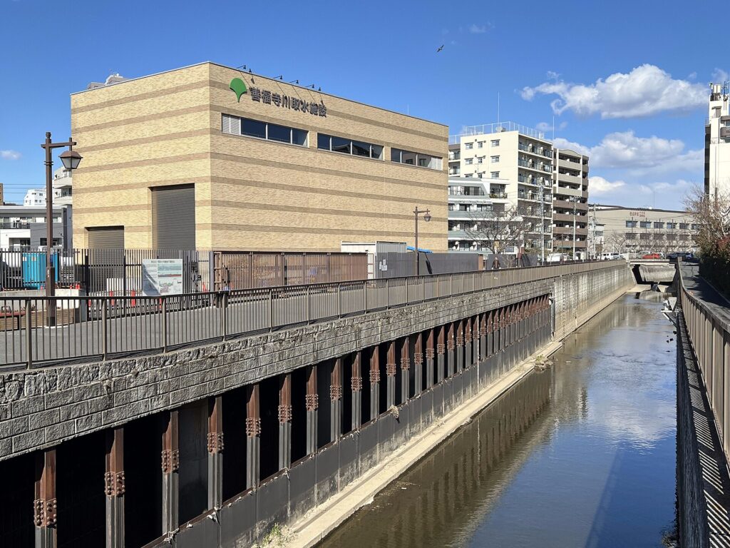
The Zenpukuji River intake facility, part of the Kanda River-Ring Road No. 7 Underground Regulating Reservoir system. Asanagi / Wikimedia Commons, CC0 1.0.
The reservoir receives river floodwater, while sewerage storage facilities manage water entering drainage networks. Tokyo uses drainage-capacity improvements and temporary rainwater storage to reduce flooding from intense downpours. [5]
These facilities help explain the engineering behind everyday urban life. Their presence does not establish the flood risk of an individual property; the local setting and building still need consideration.
Predicting where water will go
An October 10 Nikkei report describes another approach: predicting flooding quickly enough to support action.
Taisei Corporation has developed technology combining Japan Meteorological Agency rainfall forecasts with municipal sewer records. Once the necessary data is registered, the system can calculate flood predictions within five minutes and forecast conditions up to 30 minutes ahead, updating at five-minute intervals. [6]
Taisei plans to use it at its construction sites to help teams move workers, materials, and equipment when flooding is predicted. It also sees potential for business-continuity planning at offices and factories.
The significance for real estate is practical: infrastructure manages water, while forecasting can give people more time to respond. The technology is not presented as an existing service for residential buyers, but it highlights the importance of preparation alongside physical flood defenses.
A short checklist for property buyers
A property’s interiors and views reveal little about how the building handles heavy rain. Before buying, use these questions to understand its wider setting and preparation:
- Check the hazard maps. Look up the exact address in the relevant municipal maps, reviewing river flooding and drainage-related flooding separately. Note the mapped flood depths and the scenarios used. Tokyo’s guidance recommends checking maps by hazard type. [7]
- Ask about past incidents. Request available information about flooding, water ingress, and drainage problems, including affected areas, repairs, and subsequent preventive measures.
- Review building precautions. Ask about entrance flood barriers, drainage maintenance, basement parking, and the location of essential electrical equipment.
- Clarify the response procedure . Find out who monitors severe-weather warnings and who deploys protective equipment or coordinates action.
- Consider shared services. For an upper-floor condo, include building access and shared facilities in the discussion, alongside the apartment itself.
Hazard maps describe assumed scenarios. Use them together with the building’s records and precautions to develop a fuller picture.
Take the next step with Tokyo Portfolio
Tokyo’s underground infrastructure is part of the setting of every home, alongside the features visible during a viewing. Understanding the relevant flood information helps buyers ask more informed questions.
If you have a property in mind, contact us with its address or listing link. Our team can help review publicly available hazard information and request available details about past flooding, repairs, and building precautions from the seller, listing agent, or management company. Where technical assessment is needed, a qualified specialist can investigate further.
Sources
[1] [Japan Weather Association, Tokyo’s 37-day precipitation streak]
[2] [Tokyo Bureau of Sewerage, Protecting the city from heavy rain]
[3] [Tokyo Bureau of Sewerage, Flood inundation maps]
[4] [Tokyo Bureau of Construction, Kanda River underground reservoir brochure] Details the tunnel dimensions, storage capacity, intake facilities, and connected rivers. Approximate depth is also documented on the [Bureau’s river management page]
[5] [Tokyo Bureau of Sewerage, Flood-prevention committee materials]
[6] [Nikkei, Taisei develops technology to calculate flood predictions within five minutes] October 10, 2026. Reports on the forecasts and planned construction-site and business-continuity applications.
[7] [Tokyo Metropolitan Government, Checking hazard maps]